tree day
Guide
What is a low traffic neighbourhood?
A low traffic neighbourhood uses street changes to discourage through-driving on local streets while keeping routes for residents and essential access; its design and effects depend on local details.
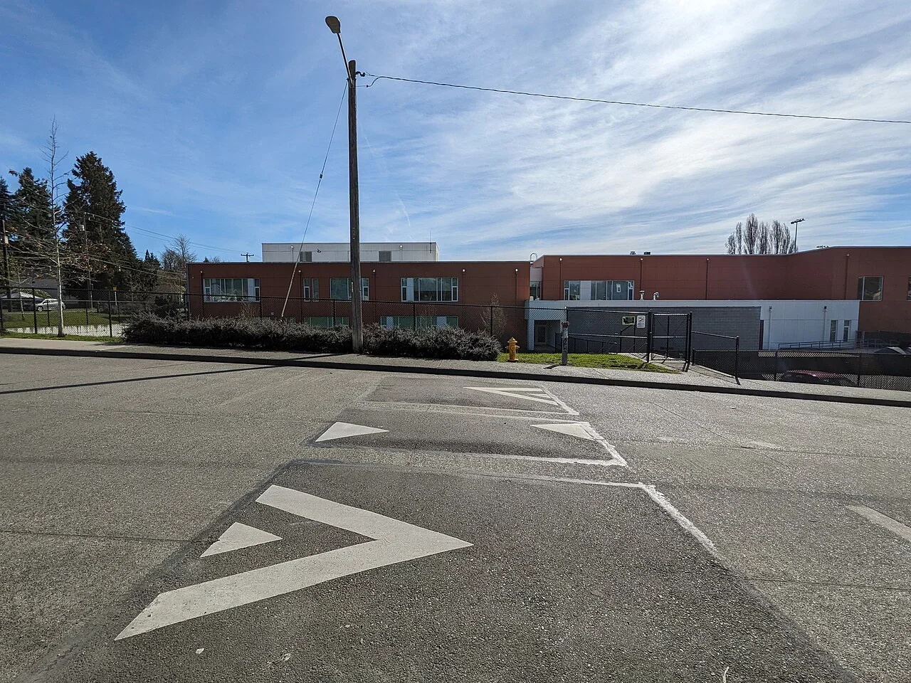
A low traffic neighbourhood is an area where street changes aim to reduce through-traffic on residential roads. The goal is to make those streets quieter for people who live, walk and cycle there, while keeping necessary access. The exact design differs by place: signs, planters, filters or other measures may change which vehicles can pass through, so the local plan matters more than the label.
Through traffic is the specific problem
A driver using a residential street as a shortcut contributes traffic that has no local destination. Measures in a low traffic neighbourhood try to make that shortcut less convenient, often by changing vehicle access at selected points. Residents, deliveries, emergency services and people with access needs may have different arrangements depending on local design and rules.
The purpose is not necessarily to remove every vehicle. Residents may still need to reach homes, and streets may still carry service traffic. The distinction is between access and passage: a street can remain reachable while becoming less useful as a route across the neighborhood.
How a street filter can work
Imagine two parallel residential streets that drivers use to avoid a busy main road. A physical filter at one connection might allow walking and cycling through while requiring cars to use the main road. That can reduce shortcut traffic on the local street, but it can also shift vehicle routes elsewhere. The result depends on the wider street network, the location of filters and how drivers respond.
A plan should be judged on its actual design and evidence after installation. Questions include whether traffic has moved onto boundary roads, whether buses and deliveries still work, and whether people walking or cycling have a continuous route. A single street count cannot answer every question about access or neighborhood quality.
Public space and environmental benefits
Quieter streets can create more comfortable places to walk, cycle or spend time, but a traffic measure does not automatically add trees, seating or green space. Those are separate design choices that may accompany a scheme. The EPA describes trees and vegetation as tools communities can use to reduce heat-island effects, while noting that local approaches involve factors beyond planting alone. [2]
Planting or rain gardens can also affect how a street handles rainfall. EPA stormwater research describes green infrastructure as using filtration, infiltration and evapotranspiration to manage rain where it falls. Whether a particular street can support those features depends on space, soil, drainage and maintenance. [1]
Look for the trade-offs in local details
Some residents may face longer car routes or changed parking and loading patterns. People who rely on a vehicle, including disabled residents and caregivers, need access arrangements that work in practice. Boundary streets may experience changes in traffic and need monitoring. A scheme that ignores those effects can create real burdens even if its central streets become calmer.
Ask what the plan measures and when it will be reviewed. Useful measures can include traffic volumes on internal and surrounding streets, walking and cycling conditions, access for deliveries and emergency response, and feedback from people with different needs. Avoid assuming success or failure from a headline or a map alone.
Read the local proposal before judging it
Start by finding the proposed filter locations, exemptions, bus routes and monitoring plan. Then trace a few everyday trips: home to school, a delivery route, a clinic visit or a crossing of the neighborhood on foot. This reveals who gains a more comfortable street and who may need a workable adjustment.
A low traffic neighbourhood is a street-management approach, not a guarantee of a particular environmental result. Its value depends on whether it reduces unwanted through-driving while maintaining access and improving conditions people actually use. The next useful step is to compare the local design with those everyday journeys and the evidence gathered after changes are made.
Follow the evidence
Primary sources used in this story. Practical examples are illustrative unless a source states otherwise.
Read our editorial standards. Have a correction? Identify the article and relevant source in your feedback to the site owner.