tree day
Guide
What is a 15 minute city?
A 15 minute city is a planning idea that brings everyday destinations closer to where people live, with walking, cycling and transit making those services reachable for more residents.
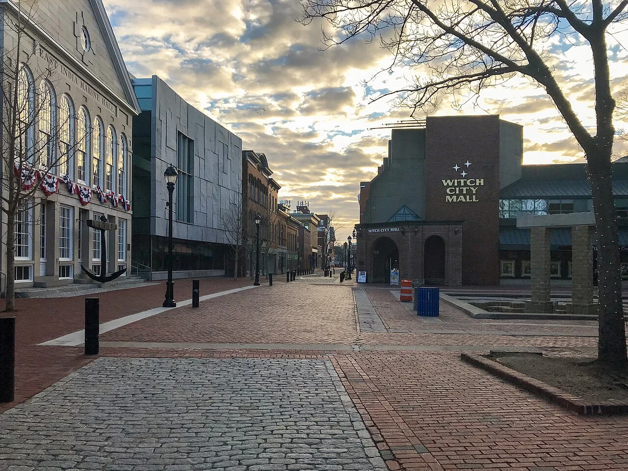
A 15 minute city is a place where many everyday needs can be reached in about 15 minutes from home, often on foot or by bicycle. It is a planning goal, not a promise that every service will exist in every neighborhood or that all residents travel at the same pace. The useful question is which daily destinations are close, accessible and open when people need them.
The minutes describe access, not a stopwatch test
The phrase usually points to proximity: homes near useful destinations such as shops, schools, parks, health services, work or community spaces. The travel mode matters. Fifteen minutes by car does not say much about whether a person can comfortably reach a place on foot, by bike or using transit.
The number is best understood as a way to prompt planning, not a universal boundary. A route that takes 15 minutes for one person may take longer for someone using a mobility aid, accompanying a child or navigating steep streets. Opening hours, cost and whether a service meets a resident’s needs also matter.
A concrete neighborhood example
Imagine a hypothetical district where residents can walk to a grocery store, a school and a small park, but the nearest clinic and larger employment center require transit. That neighborhood may offer convenient daily errands without being self-sufficient. A realistic plan could improve the walking routes to existing destinations, protect space for a missing service and make the transit connection dependable.
This example shows why maps alone can mislead. A destination may appear close in a straight line but be separated by a highway, rail line or unsafe crossing. Measure routes people can actually use, and consider whether sidewalks, curb ramps, lighting and crossings connect the front door to the destination.
Access depends on the public realm
Streets that are comfortable to walk or cycle can make nearby services more reachable. Shade, seating and safe crossings can matter as much as distance, especially for people who cannot move quickly or stand for long. The EPA says trees and vegetation can reduce heat islands in urban environments, which can help inform local decisions about routes and public spaces. [2]
Green space is more than visual decoration. EPA stormwater research describes green infrastructure such as rain gardens and permeable pavement as ways to filter or absorb rainwater where it falls. Street improvements can support both movement and water management, though local soil, drainage and maintenance determine what is feasible. [1]
The concept has real constraints
Not every service can be placed in every neighborhood, and some residents travel farther for specialized care, work or family responsibilities. Housing costs can also affect who gets to live near amenities. A neighborhood plan that improves access but displaces people or excludes lower-cost housing would not make daily life more convenient for those who need it most.
Proximity also does not guarantee choice. A nearby shop with limited hours or prices beyond a household’s means may not meet its needs. Good planning asks residents which destinations are missing, what barriers make existing places hard to reach, and how different schedules shape access.
Use the idea to ask better local questions
Choose a few common destinations and trace the routes from different parts of the neighborhood. Note travel time by mode, barriers, operating hours and who might find each route difficult. Then identify whether the gap is distance, street access, service availability or affordability; each calls for a different response.
The 15 minute city is most useful as a way to focus on everyday access. Start by naming one important destination that is difficult to reach, then look for the specific change—safer crossing, better service, a closer facility or a transit connection—that would make it more reachable.
Follow the evidence
Primary sources used in this story. Practical examples are illustrative unless a source states otherwise.
Read our editorial standards. Have a correction? Identify the article and relevant source in your feedback to the site owner.