tree day
Guide
Why rivers flood?
Rivers flood when water entering a channel exceeds what it can carry, often after heavy rain or snowmelt; watershed shape, land cover, and floodplain storage affect the outcome.
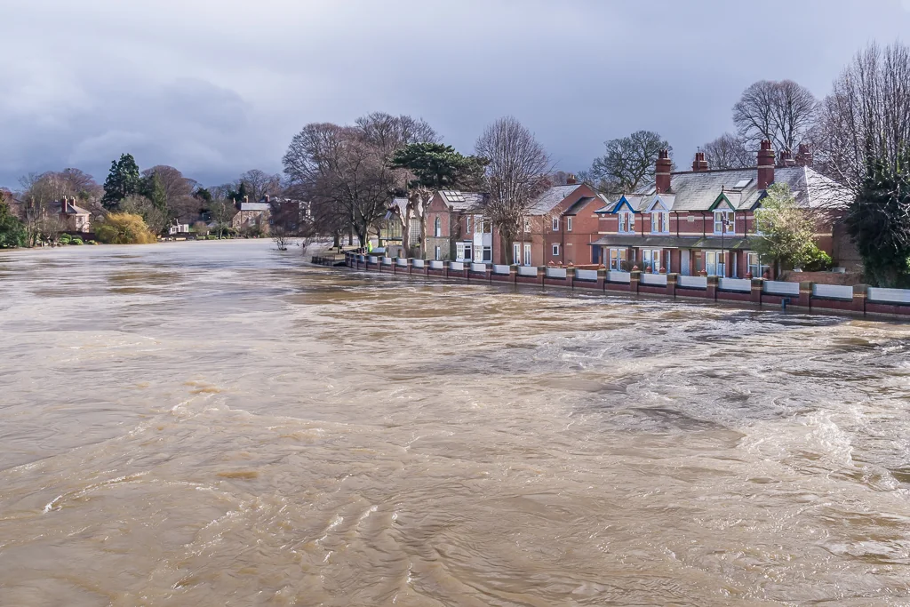
A river floods when incoming water rises beyond the channel's capacity and spreads onto surrounding land. That can happen after heavy or prolonged rain, rapid snowmelt, or other conditions that send more water into a watershed than usual. The exact timing and extent depend on the whole basin: its soils, slopes, tributaries, land cover, and how much water the channel and floodplain can hold.
A watershed gathers water toward one outlet
A watershed is the area from which water, sediment, and dissolved materials drain toward a shared outlet. Rain falling across that area may run over land, enter streams, or soak into soil and groundwater. The USGS explains that surface runoff, streamflow, infiltration, and groundwater recharge are connected movements in the water cycle. [1] A river responds to the combined contributions of many places, not only the rain falling directly beside its banks.
When precipitation is intense, soils are already saturated, or frozen ground limits infiltration, a greater share may move into channels. Tributaries can deliver their flows at overlapping times. Water then rises as it travels downstream, and low-lying areas beside the river may be inundated.
Floodplains are part of the river system
A floodplain is the low land next to a river that can receive water when the channel overflows. Flooding there is a natural process, though it can disrupt homes, roads, farms, and habitats when people or infrastructure are exposed. Floodplains can spread and temporarily store water, reducing how quickly it moves downstream.
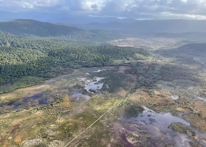
Wetlands are one kind of landscape feature that can add storage. EPA describes wetlands as trapping and slowly releasing surface water, rain, snowmelt, groundwater, and floodwater; their vegetation can slow flood flows and reduce erosion. [2] When wetlands or floodplains are filled or disconnected, less water may be held in those places. The effect varies by watershed, so no single feature can prevent every flood.
Land cover changes how quickly water arrives
Pavement, buildings, and compacted ground can increase the rate and volume of surface runoff compared with landscapes that absorb and store more water. EPA notes that wetlands in and downstream of urban areas are valuable partly because they counter increased runoff from pavement and buildings. [2] In a developed watershed, drains and channels may move water away quickly, which can shift the timing and volume of flows reaching a river.
Natural and human factors combine. A river may rise after a storm even where the immediate banks look clear, because rainfall far upstream is moving through tributaries. Dams and reservoirs can alter flows too, but their operation and effect depend on local infrastructure and conditions.
Flood risk is not a single forecast number
The chance of flooding at a particular place depends on river level, weather, terrain, drainage, and exposure. A flood forecast is an estimate about conditions; it is not a guarantee that every nearby street or property will flood. Likewise, a river can reach high water without causing the same impacts everywhere along its course.
For personal decisions, rely on official local flood warnings, evacuation guidance, and emergency instructions. Do not use a general explanation of river behavior to decide whether a specific road or crossing is safe. If you live near a river, find your local alert channels and know the designated route to higher ground before an event begins.
Look upstream and choose preparedness
The next time a river rises, think of the watershed feeding it: rainfall, tributaries, soils, and places that can store water all contribute. A practical next step is to check your local flood map and sign up for official alerts, then identify a route away from low ground that follows local emergency advice.
Follow the evidence
Primary sources used in this story. Practical examples are illustrative unless a source states otherwise.
Read our editorial standards. Have a correction? Identify the article and relevant source in your feedback to the site owner.