tree day
Guide
What is a riparian buffer?
A riparian buffer is a vegetated area beside a stream or other water body that helps connect land and water. Learn what it can do, how it differs from a wetland, and what to consider before changing one.
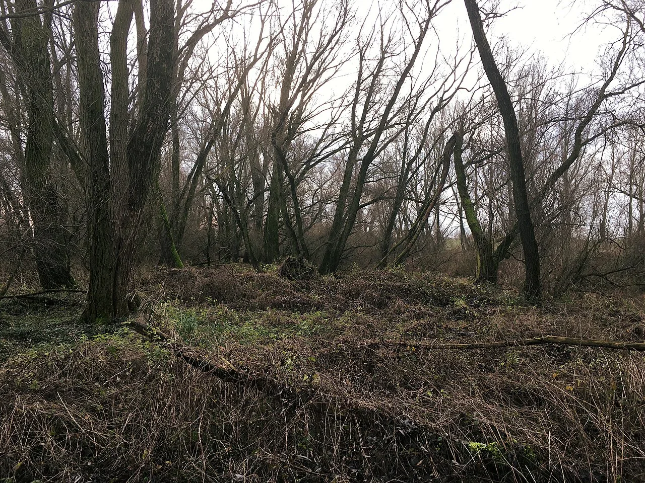
A riparian buffer is the strip of vegetation alongside a stream, river or other water body. It forms a transition between land and water, where plants and soils can slow surface runoff and help keep the bank connected to the surrounding habitat. The EPA source describes related wetland functions, including water-quality improvement, habitat, flood storage and erosion control; the exact performance of a particular buffer depends on its site. [1]
A buffer is an edge with a job
When rain falls on roofs, roads or bare ground, some water flows over the surface toward a low point. The USGS describes runoff as a pathway that can carry sediment, chemicals and sewage into rivers and lakes. Vegetation near water can interrupt part of that direct route, while roots and plant cover help bind soil. The result is a useful transition, not a sealed filter that removes every pollutant. [2]
A buffer can also provide cover and food within a broader habitat network. Wetlands support diverse food webs, and many fish, birds and mammals use wetland areas for food, shelter, breeding or migration. A vegetated stream edge may connect habitats, although a general wetland source cannot specify which species depend on a given local buffer. [1]
How it differs from a wetland
The terms overlap but are not interchangeable. A riparian buffer describes a location and role beside water; a wetland is an ecosystem with particular water, soil and biological conditions. Some streamside areas are wetlands, while others are not. EPA emphasizes that wetlands differ across locations because climate, landscape shape, geology and water movement help determine their plants and animals. [1]
That distinction matters before planting or construction. A strip of upland vegetation can function as a buffer without meeting the definition of a wetland. Conversely, a wetland may extend beyond what looks like a narrow streamside strip. If a project depends on the boundary or legal status of a site, consult local agencies rather than guessing from the vegetation or how wet the ground looks on one visit.
Why width and continuity matter locally
A buffer’s contribution depends on the route water takes, the slope, soil, vegetation and the condition of the stream edge. The references do not set a universal buffer width or a standard distance from a foundation. They do establish that wetland functions arise from complex relationships in a watershed and that runoff can transport pollutants. So a useful design begins with the actual flow path and local site conditions, rather than a one-size-fits-all measurement. [1] [2]
Consider a hypothetical property where a sloping lawn drains toward a stream. Maintaining vegetation along the water may slow some surface flow, while a separate planting or drainage adjustment higher on the slope may address runoff before it reaches the bank. If water is concentrated in a ditch, simply adding plants beside it may not solve erosion. The site needs assessment, not an assumed buffer recipe.
What a buffer can and cannot promise
Wetlands can trap and slowly release water, slow flood flows, improve water quality and control shoreline erosion. A buffer may contribute to similar goals where it is part of a functioning wetland or streamside landscape, but it should not be advertised as guaranteeing clean water or preventing floods. EPA notes that wetland values depend on relationships between the wetland and other ecosystems in its watershed. [1]
A common mistake is to plant a narrow row of ornamental species and call the job complete. Native plants suited to local soil and water conditions are generally the more appropriate starting point, but the right choices vary by region and site. Existing vegetation may already be valuable. Avoid removing it or disturbing a bank until you understand what is present and what local guidance recommends.
A sensible first move
If you manage land beside water, observe where runoff comes from, where it concentrates and whether the bank is stable, without entering unsafe areas. Then contact a local watershed organization, conservation district or environmental office for region-specific buffer advice. Before digging or installing anything, use the local utility location service and check applicable permits.
For a homeowner without a streamside property, you can still reduce what drains toward local waters: fix leaks, keep soil covered and sweep hard surfaces rather than hosing them, as EPA WaterSense recommends. Select one action that addresses your own runoff pathway, and ask locally before changing a stream bank or wetland. [3]
Follow the evidence
Primary sources used in this story. Practical examples are illustrative unless a source states otherwise.
Read our editorial standards. Have a correction? Identify the article and relevant source in your feedback to the site owner.