tree day
Guide
Groundwater vs surface water?
Groundwater is stored and moves below ground in pores and cracks; surface water is visible in rivers, lakes, wetlands and reservoirs. Their paths differ, but they connect through recharge, springs and streamflow.
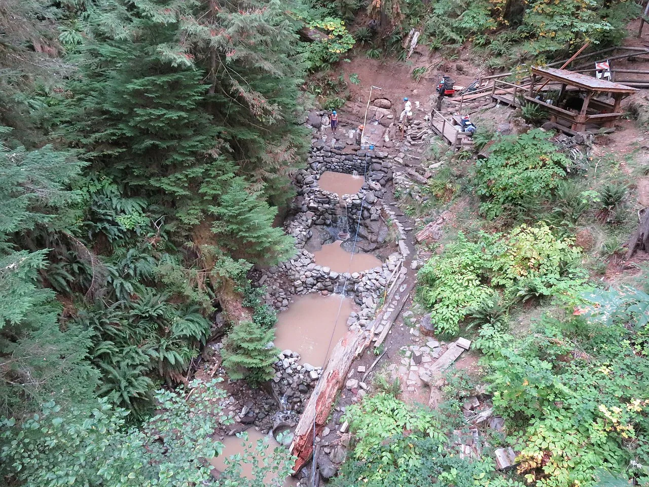
A river and a well draw from different places, but they are not necessarily separate water supplies. Surface water is found above ground in rivers, lakes, wetlands and reservoirs; groundwater is held below the surface in soil and rock. Rain can feed both: some runs across the land, while some infiltrates and recharges underground storage. Knowing the difference helps explain why a dry stream, a shallow well and a wet season do not always change together.
Two places water is stored
Surface water is the water you can see at the land surface: a creek flowing after rain, a lake, a reservoir behind a dam, or water held in a wetland. Groundwater is liquid water stored below ground in aquifers, within cracks and pores in rock. The word “aquifer” describes the underground material that stores and allows groundwater to move; it does not mean a hidden underground river in every case. [1] [3]
These are storage locations, not permanent labels for a particular raindrop. Water moves among them. The U.S. Geological Survey describes water moving across the land as runoff and streamflow, entering the ground through infiltration and recharge, and moving within aquifers as groundwater flow. Groundwater can discharge to rivers, oceans and springs. [1]
Why the difference matters
Surface water often responds visibly to rain and snowmelt: a stream may rise, a pond may fill, or runoff may rush through a channel. Groundwater movement and storage occur below ground, so the changes are less visible. In a simple example, imagine rain falling on a yard. Water that runs off toward a storm drain may reach a stream quickly; water that soaks into permeable soil may move downward and contribute to groundwater recharge.
The timing and amount vary with local conditions, including land cover and the character of soil and rock. A paved surface tends to route more water overland than a patch of soil that can absorb it, though the actual outcome depends on the site. That distinction matters when communities consider wells, river supplies, drought planning or contamination: the two sources have different pathways and can respond on different timescales. [1]
The connection runs both ways
Groundwater can feed surface water. Where groundwater naturally discharges into a stream or appears as a spring, it adds water at the surface. In other places, stream water may seep into the ground. The direction and strength of exchange depend on the relationship between the water level in the channel and the surrounding groundwater, which can shift over time. [1]
This connection helps explain why protecting only the visible water can miss part of the system. A substance entering soil may move toward groundwater; a pollutant in a stream may affect downstream water or connected habitats. The USGS notes that human activities affect where water is stored, how it moves and how clean it is, including through runoff that carries contaminants and sediment. [1]
A wetland can involve both
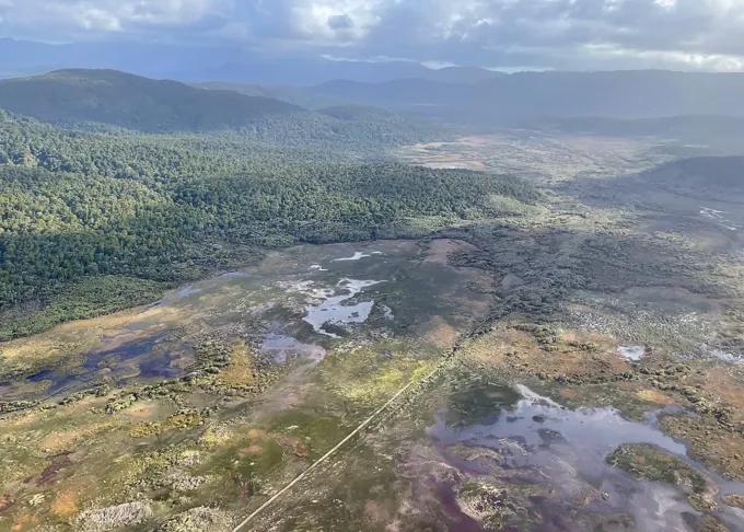
Wetlands illustrate why the categories are useful but not rigid. They hold surface water, and their hydrology can also be influenced by groundwater. Wetland plants, soils and shallow water create habitat and can slow and store floodwater. The U.S. Environmental Protection Agency describes wetland functions as connected to the larger watershed, including maintaining surface-water flow during dry periods. [2]
A wetland is not automatically a filter that removes every pollutant, nor does every wetland behave alike. Climate, landscape shape, geology and water movement help determine its plants and animals. For a homeowner, the practical point is that a wet area may be part of a wider drainage and groundwater system, not simply a puddle that can be understood from its surface appearance alone. [2]
Choose the right question for the source
If you are trying to understand a household supply, first find out whether it comes from a private well, a public system drawing from groundwater, a river, a reservoir or a blend. Then ask what local guidance says about source protection and water quality. The distinction between groundwater and surface water alone cannot establish whether water is safe to drink or how much is available.
For a yard or neighborhood, observe where stormwater flows and whether there are springs, streams or wet areas nearby. A local watershed or groundwater map can add context. The best next question depends on your concern: for supply, identify the source; for runoff, trace the route; for a wetland, learn how it connects to its watershed.
Follow the evidence
Primary sources used in this story. Practical examples are illustrative unless a source states otherwise.
- USGS: Water Science School ↗
- US EPA: Why wetlands are important ↗
- USGS: Groundwater—what is groundwater? ↗
Read our editorial standards. Have a correction? Identify the article and relevant source in your feedback to the site owner.