tree day
Guide
Why do cities get hotter?
Cities can become hotter than nearby less-built areas because pavement and buildings absorb and release heat, while dense development can limit shade and airflow. This guide explains the mechanisms and how to spot the conditions that make a block especially warm.
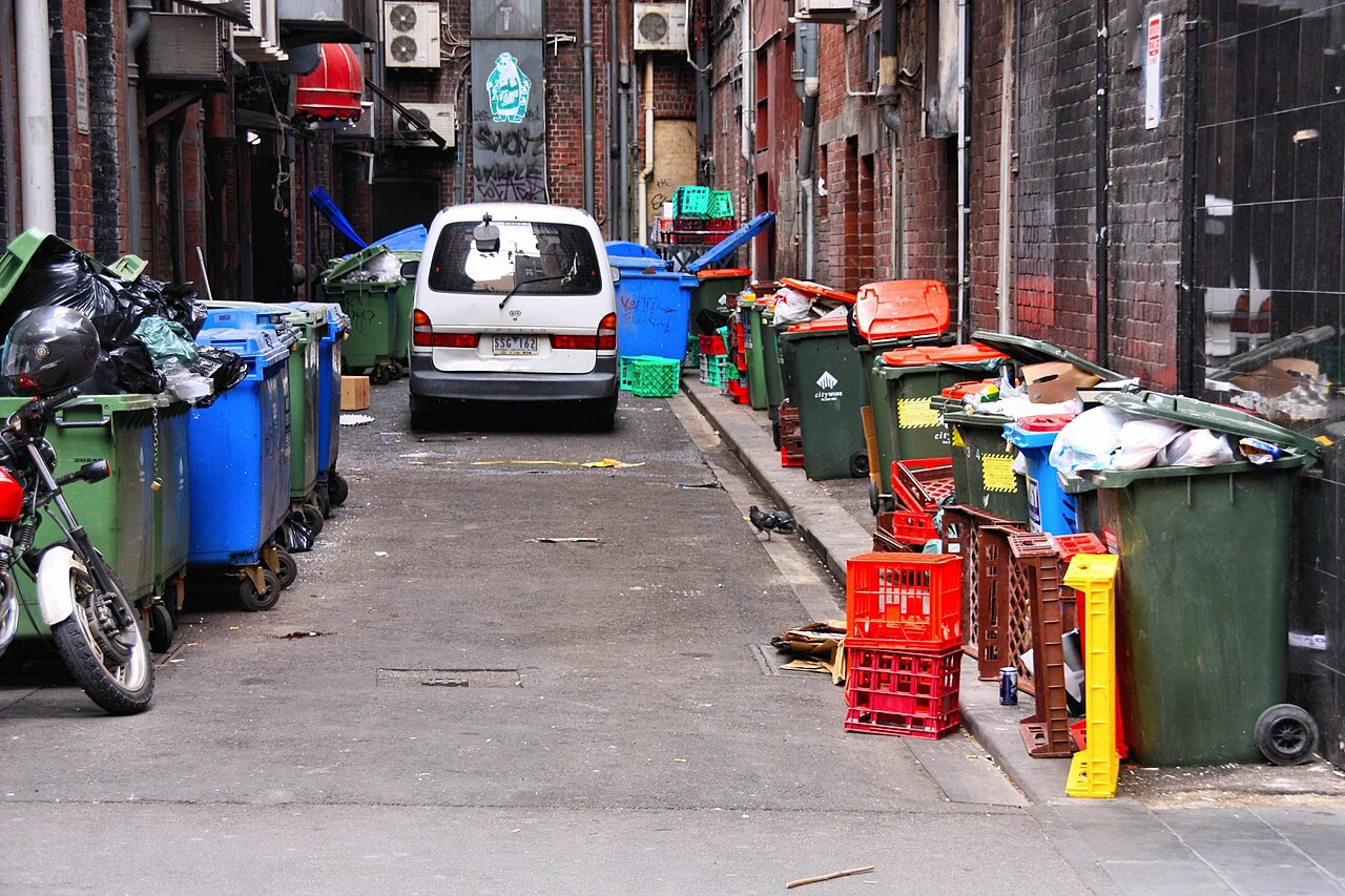
On the same afternoon, a walk across an exposed parking lot can feel far hotter than a route through a shaded park. That contrast is not only about the day’s weather. Urban materials, building layouts, shade and vegetation alter how heat is absorbed, stored and felt near the ground. Understanding those local conditions helps explain why heat can differ from one block to the next.
Hard surfaces hold and return heat
Roads, roofs and walls absorb solar energy during the day. Some of that energy is stored in the materials and released later, including into the evening. Concrete and asphalt cover surfaces that might otherwise have been shaded or vegetated, so a large paved area can stay warm after direct sunlight fades.
Climate describes long-term patterns, while weather refers to short-term local conditions such as a day’s temperature or wind. [1] A warm urban block is a local exposure issue; it does not by itself explain the broader climate trend, which is driven largely by rising greenhouse gas levels from human activity. [2]
Shade changes what people experience
Direct sun warms people and surfaces. Trees, awnings and building shade reduce the amount of sunlight reaching pavement and the body, so a shaded route can feel more comfortable even when the air temperature is similar. A street with little canopy may therefore expose pedestrians to more heat than a nearby shaded street.
Shade is unevenly distributed. A bus stop beside a wide road, an open schoolyard or a large parking area may have few places to escape direct sun. Observing where people wait, walk and gather can reveal practical gaps that a citywide temperature average conceals.
Vegetation and moisture affect heat exchange
Plants can cool nearby air as water moves from soil through leaves and evaporates. This process uses energy, while vegetation also shades surfaces. The effect depends on water availability, plant condition, weather and the size of the planted area; a small planter cannot be assumed to cool a whole district.
A hypothetical block with healthy street trees and permeable planting beds may experience more shade and evaporative cooling than an otherwise similar block dominated by bare pavement. But local water constraints and species suitability matter. Planting choices should follow local conditions rather than a fixed watering prescription.
Buildings and street form matter too
Tall buildings can shade some areas while also changing how air moves through streets. Closely spaced structures may reduce ventilation in some settings, and walls can release stored heat after sunset. The result depends on orientation, building height, wind and surface materials, so two dense neighborhoods may behave differently.
Heat also comes from human activity, including vehicles, air-conditioning equipment and other energy use. Those sources add warmth locally, while fossil fuel burning contributes greenhouse gases that warm the planet over longer timescales. Keeping the local and global mechanisms distinct helps match the response to the problem.
Find the exposure before choosing a fix
For a block-level decision, note where shade falls at the hottest part of the day, which surfaces remain warm in the evening and whether air can move through the space. The goal is not to declare one material or planting solution universally best; it is to identify the dominant conditions and the people most exposed.
A neighborhood group could map unshaded walking routes and waiting areas, then bring that information to local planners. Depending on the site, a useful change could involve shade structures, suitable trees, lighter surfaces or better access to cooler indoor spaces. Use official local guidance for heat emergencies and current public-health instructions.
Follow the evidence
Primary sources used in this story. Practical examples are illustrative unless a source states otherwise.
Read our editorial standards. Have a correction? Identify the article and relevant source in your feedback to the site owner.