tree day
Guide
What is an urban heat island?
An urban heat island is a built-up area that is warmer than surrounding less-developed areas, especially under certain weather conditions and at particular times. Learn what the term measures, why the pattern forms and how to interpret local temperature comparisons.
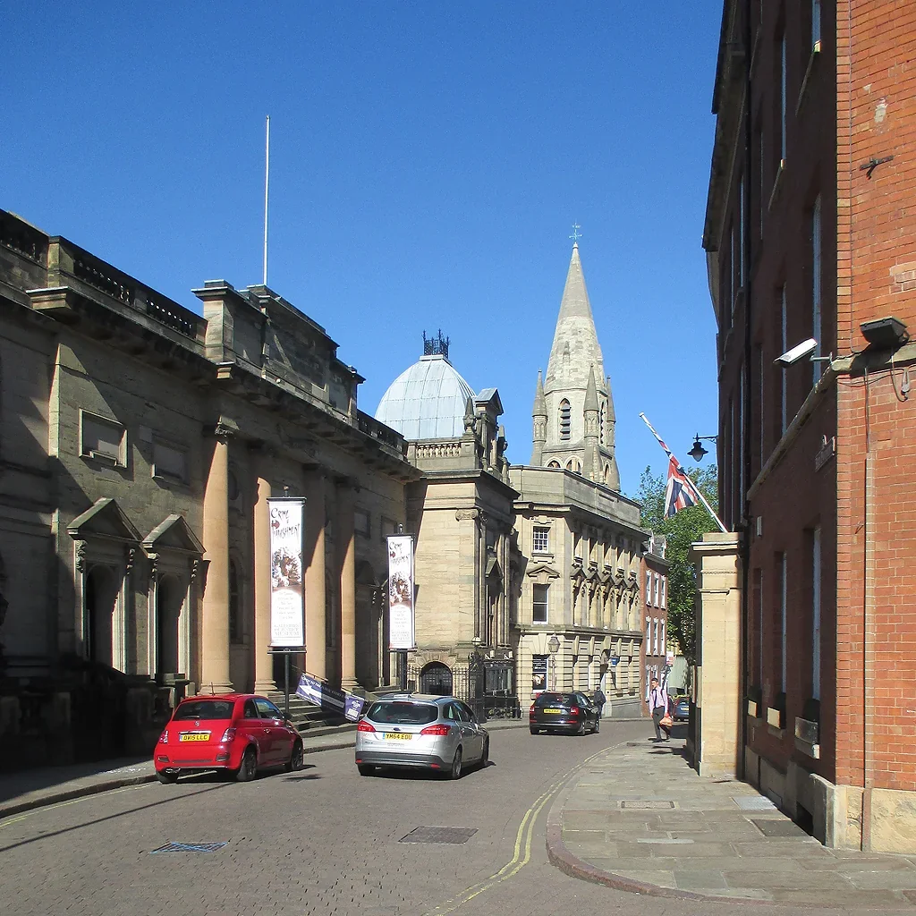
A neighborhood can remain warm after nearby open land has cooled, particularly after sunset. That pattern is often called an urban heat island: built-up places are warmer than surrounding less-developed areas. The phrase describes a temperature difference, not a single cause or a uniform condition across every street. Knowing what is being compared makes the term more useful than a general label for city heat.
The term describes a comparison
An urban heat island is a relative pattern: temperatures in an urban area are higher than those in surrounding rural or less-developed locations. The difference can vary by time, weather, season and measurement location. It is not a claim that every point in a city is warmer than every point outside it.
A single hot afternoon does not establish a persistent heat island. Weather is short-term; climate refers to longer-term patterns, generally assessed across decades. [1] To understand a local pattern, compare measurements taken at similar times and under comparable conditions.
Why built areas can stay warmer
Pavement, roofs and building walls absorb sunlight and store heat, then release some of it later. Urban areas also often have less vegetation and exposed soil than surrounding landscapes. That can mean less shade and less evaporative cooling from plants, leaving surfaces and nearby air warmer.
Street geometry affects the pattern. Buildings can shade roads at some hours but may also limit airflow or release stored heat into enclosed streets. These effects vary with layout, materials and wind; “urban” does not describe one consistent microclimate.
The heat island is not the same as global warming
The urban heat island effect is a local difference between built-up and less-developed areas. Global warming is the long-term rise in Earth’s average surface temperature, driven primarily by human activities that increase heat-trapping greenhouse gases. [1] A city experiences both influences, but they operate at different scales.
This distinction matters when interpreting a warm reading. A city can be hotter than its surroundings because of its surfaces and form, while the larger climate trend raises the baseline temperatures affecting both places. Local design can reduce some urban exposures, but it does not replace reducing the greenhouse gas emissions driving global warming. [2]
Measurements depend on where and when
A temperature reading over a shaded park is not directly comparable to one over a sunlit roof without accounting for measurement conditions. Air temperature, surface temperature and a person’s heat exposure are also different quantities. A surface can be much hotter in direct sun while nearby air readings differ less.
A hypothetical neighborhood study might compare shaded and exposed locations at several times, using consistent sensors and noting wind and cloud conditions. The purpose would be to see where and when the contrast appears, not to produce a citywide conclusion from one sensor.
What the label helps you decide
The term is useful when discussing why built districts retain heat and where changes might help. More shade, vegetation suited to local conditions, and surfaces that absorb less heat can address parts of the local pattern. The best combination depends on land, water, building form and the people using the space.
For a resident or planner, the next step is to identify a specific place and time of exposure. Is the problem an unshaded wait, warm nighttime housing, or a broad district pattern? Match the observation to the decision, and consult official local guidance during heat events rather than relying on a heat-island map alone.
Follow the evidence
Primary sources used in this story. Practical examples are illustrative unless a source states otherwise.
Read our editorial standards. Have a correction? Identify the article and relevant source in your feedback to the site owner.