tree day
Guide
Climate change and floods?
Climate change can increase flood risk by influencing heavy rainfall and sea levels, but flooding also depends on terrain, drainage and exposure. Learn what the connection means for a particular place.
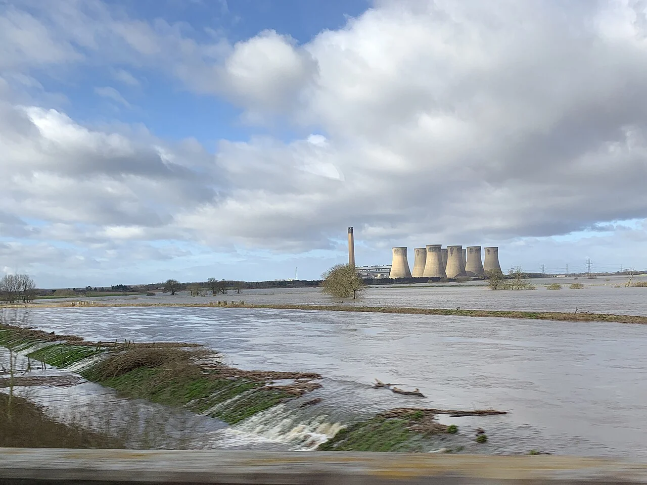
Climate change can raise flood risk, but it does not make every flood happen or explain every detail of one. A warmer atmosphere can hold more moisture, which may contribute to heavier rainfall when storms form; rising seas can also affect coastal flooding. Whether water reaches a particular home depends on local terrain, drainage, rivers, coastlines and development as well as the weather.
Floods arrive by different routes
River flooding may follow prolonged rain or rapid runoff upstream. Flash flooding can develop quickly when intense rain overwhelms drainage or flows across steep terrain. Coastal flooding can be influenced by sea level, tides and storms. These hazards differ in warning time and in the infrastructure that shapes exposure, so “flood risk” needs a location and mechanism attached to it.
NASA identifies changes in the frequency and severity of extreme weather, including floods and precipitation, among observed climate indicators. [1] That broad evidence supports examining climate-related changes; it does not tell a resident whether a specific street will flood in a particular storm.
Why warming can affect heavy rain
The atmosphere's capacity to hold water vapor increases as it warms. When a storm draws in moisture and lifts air, that additional moisture can contribute to heavier precipitation. This is one physical pathway linking warming and rainfall extremes, although storm dynamics and local geography also matter.
Flooding is not a direct measure of rainfall alone. A given downpour can produce different outcomes depending on how saturated the ground is, whether slopes or paved surfaces channel water, and whether streams and drains have room to carry it. A place with effective drainage may still flood if water exceeds its capacity; a less intense storm can cause damage when the ground is already wet.
Coasts add another source of exposure
For coastal communities, higher sea levels can make some high-water events more consequential by changing the baseline from which tides and storms act. NASA lists rising sea level among the key indicators of climate change. [1] Local exposure still depends on shoreline shape, elevation, protective features and the event itself.
The distinction between a changing background condition and an individual event helps avoid overstatement. Climate change can alter the odds or severity of relevant hazards, while the details of a particular flood depend on the storm, tide, river and built environment. For decisions about a specific property, local flood maps and official guidance are more useful than a global average.
A hypothetical street shows the layers
Imagine two blocks receiving the same intense rainfall. One has open ground and a clear path for runoff; the other has low points, clogged drains and a stream that is already high. Their exposure differs even though the weather is the same. If heavier downpours become more likely in the region, that existing difference can matter more often.
The example is hypothetical, but it shows why flood preparation includes both climate information and local conditions. A common mistake is assuming that a short distance from a river means no flood risk, or that a past flood boundary guarantees future safety as conditions and development change.
Use local information for the next decision
For immediate safety, follow official local alerts and emergency instructions. For a long-term home or community decision, identify whether the main concern is river, surface-water or coastal flooding and consult the relevant local maps, drainage information and climate assessments. A seasonal outlook does not predict a specific local flood.
Then choose one practical next step, such as learning how alerts reach your household or asking the local authority where runoff goes during intense rain. The right action depends on the route water could take through your own area.
Follow the evidence
Primary sources used in this story. Practical examples are illustrative unless a source states otherwise.
Read our editorial standards. Have a correction? Identify the article and relevant source in your feedback to the site owner.